Check out more of my Arizona vacation photographs on my blog.

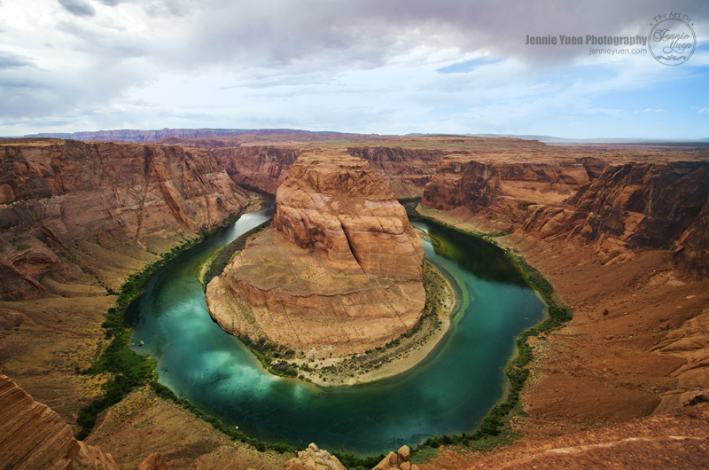
Horseshoe Bend is the name for a horseshoe-shaped meander of the Colorado River located near the town of Page, Arizona, in the United States. Horseshoe Bend is located 5 miles (8.0 km) downstream from the Glen Canyon Dam and Lake Powell within Glen Canyon National Recreation Area, about 4 miles (6.4 km) southwest of Page. It is accessible via a 1.1 miles (1.8 km) hike from U.S. Route 89 but an access road does reach the geological structure as it is part of a state park. The Horseshoe Bend can be viewed from the steep cliff above. According to Google terrain maps, the overlook is 4,200 feet (1,300 m) above sea level and the Colorado River is at 3,200 feet (980 m) above sea level making it a 1,000 feet (300 m) drop. - Wikipedia
500px Gallery
My Facebook Page
This shot is beautiful and what a gorgeous spot.
ReplyDelete